About
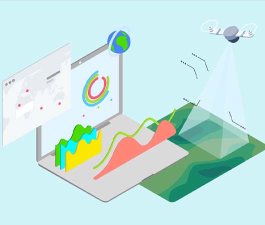
Lands Doctor is one of India's first civilian land monitoring solutions, offering management through GIS, Data Analytics, and Remote Sensing. It conducts field-based evaluations using drones, supported by satellite imagery for monthly or tri-monthly monitoring, available via subscription.
Additionally, it provides a range of services, including price surveillance, plantation and rotation management, and warehouse and shed management, all supported by a professional network team.
Secure | Earn | Sustain
We cover a diverse range of applications
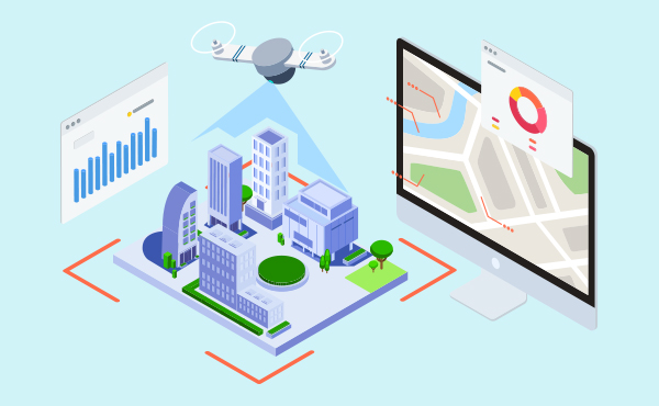
Geo Lands Doctor India stands at the forefront of digital twins asset monitoring, offering advanced solutions that integrate GIS, Drone Data Analytics, IoT, and Remote Sensing to deliver exceptional service and support. Explore our innovative solutions and join us in transforming asset management for a safer and more efficient future.
- Estates and Pipeline Monitoring (EPM)
- Industries Safety, security, and inventory Monitoring (ISSI)
- Ports Infra and Railroad Monitoring (PRM)
- Safe Guard Vault (SGV) /Encrypted Memory Disks
- Drone Monitoring Inspection and Intelligence (DMI2)