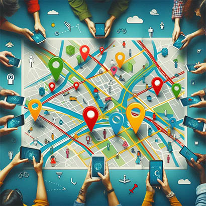
LD-Geomapping is the process of creating visual representations of geographical data, such as maps or 3D models, to analyze and interpret spatial relationships and patterns. It involves collecting, processing, and displaying location-based data to facilitate better decision-making and planning.
x
L
A
N
D
S
D
O
C
T
O
R

